
The latest area PRANIS has chosen to publish.
During the refit phase, PRANIS remains based in the Lagos area of Portugal. The public map is deliberately less precise than the yacht’s operational navigation data.
Delayed, approximate and separated from navigation.
Release 1.7.1 currently uses a manually maintained Lagos-area fallback. Automatic GNSS publication is disabled until the ingest, delay, precision reduction and retention rules have completed operational testing.
The public marker represents an operating area, not a berth or exact anchorage.
The website does not show real-time movement or a live passage schedule.
It must not be used for navigation, emergency response or rescue coordination.
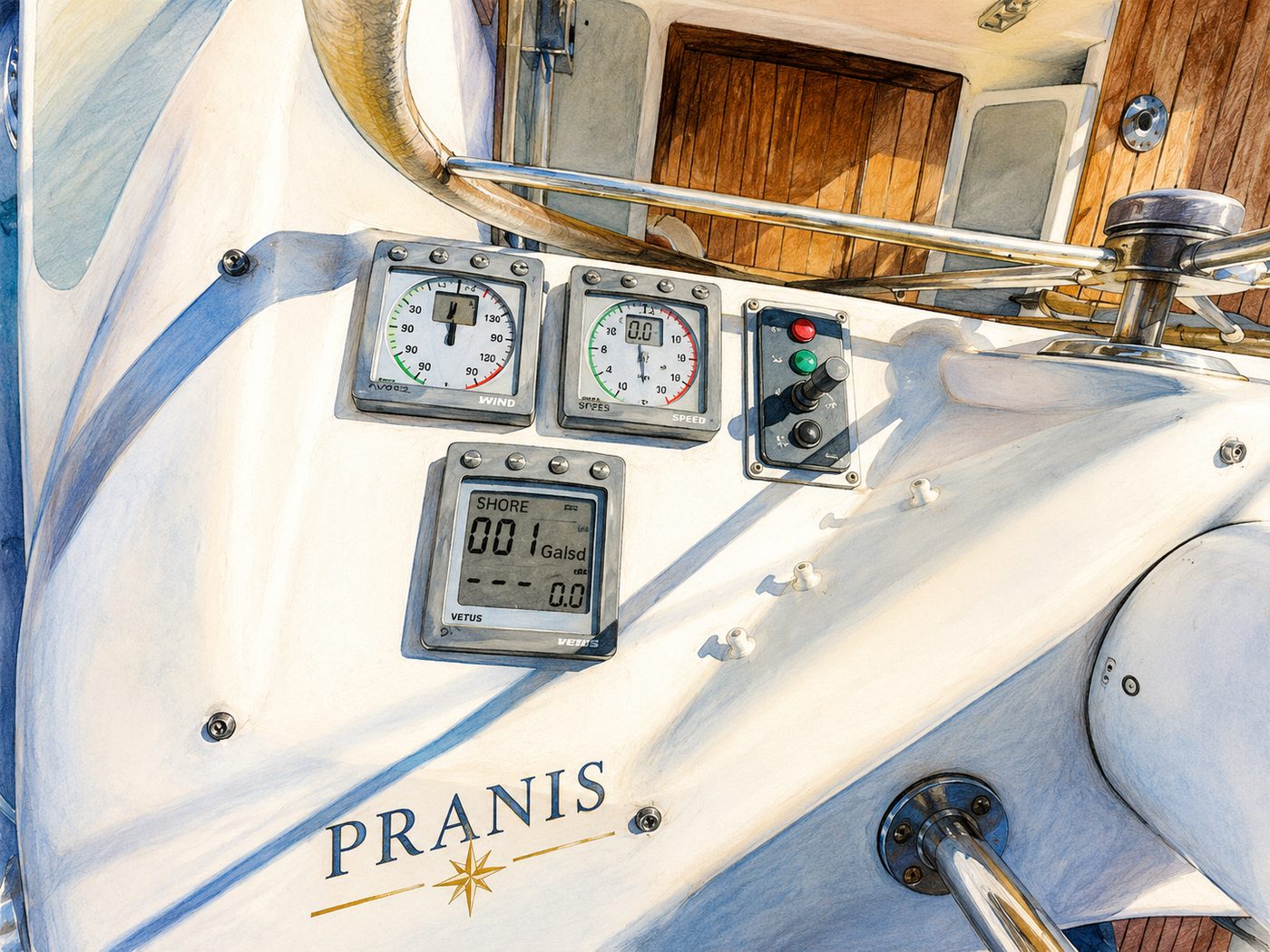
Refit and preparation in Lagos, Portugal.
For Release 1.7.1, the map shows the agreed Lagos-area fallback. This is a broad project status, not an automatically transmitted or precise vessel position.
Open the full Quest Map